
The site is public land, which the Government cited in 2024 as an advantage over Vendas Novas. Preventive land-use measures (RCM 30/2026) apply in areas linked to the airport; their exact extent should be read in the resolution.
The road plan expects about 65,000 light and 2,000 heavy vehicles a day. Noise contours and flight paths will be in the environmental study, which had not gone to public consultation at the baseline date.
The observatory does not publish projected local benefits — jobs, property values, tax income — without a sourced methodology.
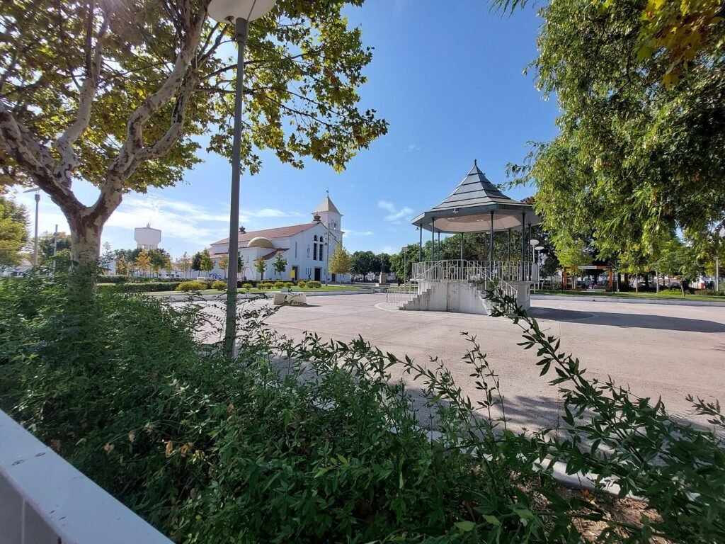
Illustration — not to scale, not the airport design
Low houses and a bell tower: the towns near the site, such as Benavente and Samora Correia.
Illustration: Luís de Camões Airport Observatory (original work).
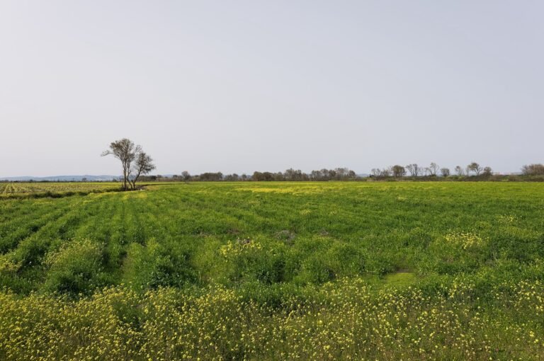
Flat farmland of the Tagus lezíria near Benavente, the municipality where most of the firing range — and the future airport — lies. February 2017.
“Lezíria fields near Benavente, Portugal (PPL1-Corrected) julesvernex2”, © Jules Verne Times Two, CC BY-SA 4.0, via Wikimedia Commons. Resized to 1,600 px wide.
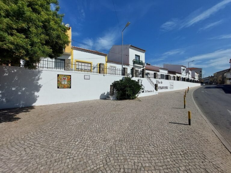
The EN118 national road passing houses in Benavente. The July 2026 road plan proposes dualling the EN118; where and how has not been published. October 2023.
“Casario próximo da Fonte de Santo António junto à Estrada Nacional 118 em Benavente”, © Threeohsix, CC BY-SA 4.0, via Wikimedia Commons. Resized to 1,600 px wide.


What the documents say
- Status: Target / forecast Forecast
The road network is expected to carry an estimated 65,000 light vehicles and about 2,000 heavy vehicles a day.
Source: Portuguese Government (XXV Constitutional Government) Details and history: Estimated 65,000 cars and about 2,000 heavy vehicles a day
- Status: Legally decided Fact
Council of Ministers Resolution 30/2026 established preventive measures restricting land use in areas linked to the new airport.
Source: Diário da República Details and history: Preventive land-use measures adopted
Open questions
What will happen to the Humberto Delgado site after closure?
Open
Why it matters
The site is one of the largest urban land parcels in Lisbon.
What is known so far
No approved redevelopment plan was found. The observatory does not speculate about one.
Source: Diário da República Source: Portuguese Government (XXIV Constitutional Government)
How will water, fuel and power reach the airport?
Open
Why it matters
Supply networks can have their own environmental and community impacts.
What is known so far
Planning of water, fuel, electricity and telecoms supply is listed among preparatory actions; no project details were found.
Questions answered
Will homes be expropriated?
The firing range is public land, which the Government cited as an advantage over Vendas Novas. Whether any private land is needed for the airport, roads or rail has not been established in the sources reviewed. Preventive land-use measures (RCM 30/2026) apply in areas linked to the airport.
Source: Diário da República Source: Portuguese Government (XXIV Constitutional Government) Permalink: Will homes be expropriated?
What are ‘preventive measures’?
Temporary legal restrictions on land use and building in defined areas, adopted to keep options open for a public project. RCM 30/2026 set measures linked to the airport; the exact area and duration are to be confirmed from the text.
Source: Diário da República Permalink: What are ‘preventive measures’?
Sources
Related explainers
Explainer
Roads to Alcochete: what is planned, and what is still unclear
250 km of new roads — or more than 250, depending on who you ask — and a list of national roads to be linked, dualled or improved.